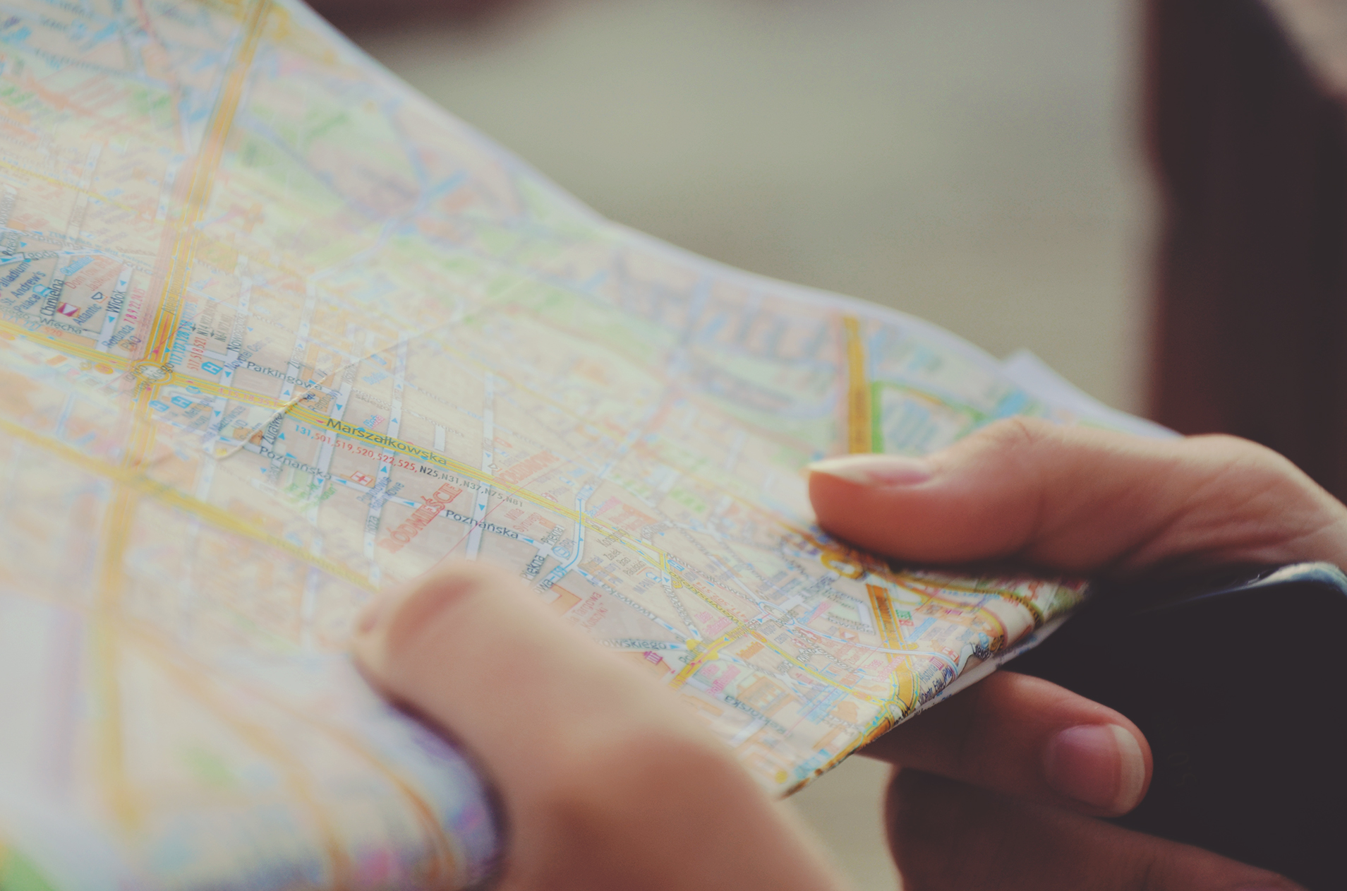
I, like the rest of the world, have used
Google maps in my travels; both local and abroad. Google maps are pretty straightforward because it’s software that is not only used by the mainstream public on a day-to-day basis, but it’s grown up in the limelight. We’ve watched it evolve year after year so using it to get around, for many people, has become second nature. It became my best buddy when I was planning my trip to Europe, and we became even closer when I was travelling it. But I have never considered it as tool for collaboration. As a mash-up, it becomes a dynamic tool for sharing and storing information. The numerous mash-ups that have been created around the world enhance plain maps with satellite images, data and interactive elements to make the journey even better.
When I was investigating the most effective ways, the tool has been used to-date one of the great mash-ups I found was Goocam. It’s a map of unprotected webcam streams from all different countries. Unfortunately, I couldn’t get the link to work. But how fantastic that you can see live footage from across the globe in one place. You could never leave the country and still see the whole world.
I got a little carried away when I tried my hand at this tool. I lived in London for two years in 2008/2009, and I went backpacking around Europe in 2011. I have visited a multitude of places, and they are fast disappearing from my memory. So I thought this would be a great place to document them.
I’ve colour coded my pins based on the trip - Green for 2008 and Maroon for 2011. I wanted to enhance my map with my favourite images – but apparently this is not easy as you think. As my blog buddy, Natalie discovered, you can’t upload photos directly from your computer. They do need to be hosted on the web, so the two sources I used were Google images and my Facebook. I used both sources because, unfortunately, the camera I took travelling got broken, so a lot of my photos were lost. Consequently, it’s handy having the ability to add other people’s images to my map. I used the advanced search options in Google images to locate images without licensing restrictions. I found a great Beatles image to upload to my Liverpool pin because I loved visiting the Beatles museum.
I also attempted to add an image from Facebook – this did not go as well. For some reason the image, seen below, is massive. I’ve added it to my pin for Rome as, as goofy as I look, I love this image.
 |
| Midnight walks through Rome |
I managed to locate the HTML script surrounding the map but, try as I might, I couldn’t work out how to fix this image but you can be sure I’ll keep trying.
 |
| HTML script for my map |
How exciting. As someone who is terrible at keeping travel diaries this would be a great way for me to document and share my experiences.
This is just one of the ways that mash-ups are and can be used. During my reading, I also stumbled across a mash-up for zombie survival. It supposedly tracks the locations of survival supplies in case of a zombie outbreak. The link was broken so I wasn’t able to poke around the website – not what you want from your last minute zombie go - to survival guide. But, I am incredibly curious to know, exactly what are considered vital zombie survival supplies?

Nice photo! I like use Google Map as the most important tool within my every trip! It is very useful and I think is a typical mash up tool in internet, isn't it?
ReplyDeleteI was thinking that adding photos becomes a time when flickr is really useful, hey? Upload the travel pics to flicker and then link them to the map. Be a great way to send the holiday album to family haha.
ReplyDelete